

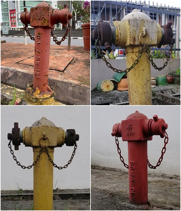
Fire hydrants are designed in a way so that it allows people to have access to water supply in case a fire breaks out.
Often placed in a strategically visible location, it is essential for fire hydrants to be in good condition and to be upgraded from time to time.
That being said, members of the public should always be aware of where their nearest location of fire hydrants are at their neighbourhood.
In line with the Industrial Revolution 4.0 (IR4.0), a Fire Hydrant Geographic Information System (GIS) was developed to locate the exact locations of water hydrants.
Developed using QGIS open-source software and Google MyMaps, the Fire Hydrant GIS is a result of a strategic collaboration between the Fire and Rescue Department of Malaysia Sarawak and Polyteknik Kuching, Sarawak.
“This is indeed a wise move as we are using technology to carry out our tasks and delivering excellent emergency services to the public,” said Malaysia Fire and Rescue Department director-general Dato’ Sri Ts Mohamad Hamdan Wahid in his speech during the appreciation and handover ceremony.
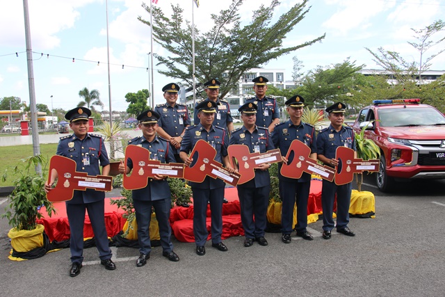
Taking place on 8th July 2022 at the Sarawak Fire and Rescue Department at Jalan Setia Raja, Kuching, the five-in-one appreciation and handover ceremony was to witness the Fire Hydrant GIS ceremony, Penyampaian Sijil Hero Bomba, Sijil Anugerah Kualiti Perkhidmatan Awam Negeri Sarawak (AKPANS 2020) Kategori Anugerah Kecermerlangan Penguatkuasaan and Penyerahan Kenderaan Utiliti Jabatan Bomba dan Penyelamat Malaysia Negeri Sarawak.
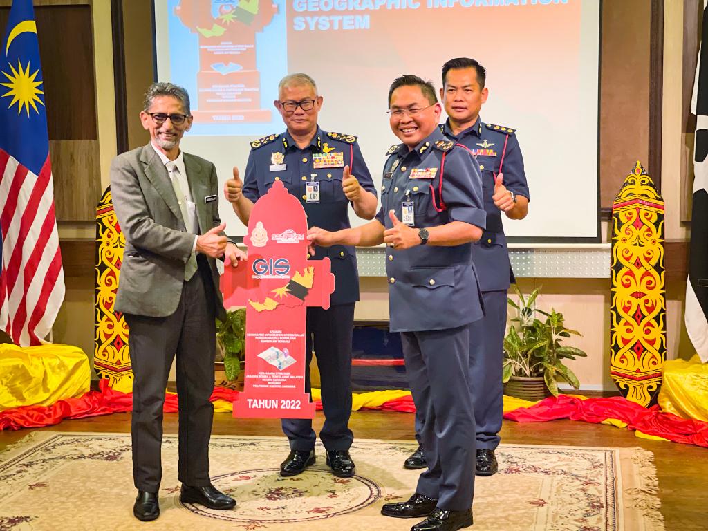
He added that it is also a new improvement as previously the fire and rescue department would use a close system in which it does not utilise Google system and is not compatible with the evolution of information and communication technology (ICT).
The Fire Hydrant GIS is a GIS -based fire hydrant and open-source management system that serves the purpose of supporting the acquisition, storage, processing, analysis and display of spatial data.
The system allows the management of data distribution on fire hydrants to be more efficient and effective.
Dato’ Sri Ts Mohamad Hamdan noted that the effective data sharing will provide fire hydrant analysis, which among others, will assist in navigating the fire hydrant at the location of emergency events.
“The system will enable firefighters to identify and gather input and data on fire hydrants throughout Sarawak as water hydrants is a powerful tool to combat fire emergencies,” he said.

In using the system, it stores water hydrants analysis which includes locations, total number, status among others as well as allow navigation to the scene of emergencies.
Aside from that, fire records are kept centrally to facilitate the generation of statistics and fire case studies.
To date, there are now 2.5 million fire hydrants throughout Malaysia in which Dato’ Sri Ts Mohamad Hamdan noted that the majority of them are located in Sarawak.
Yearly, the fire and rescue department would receive about 170, 000 distress calls for emergencies from the public.


